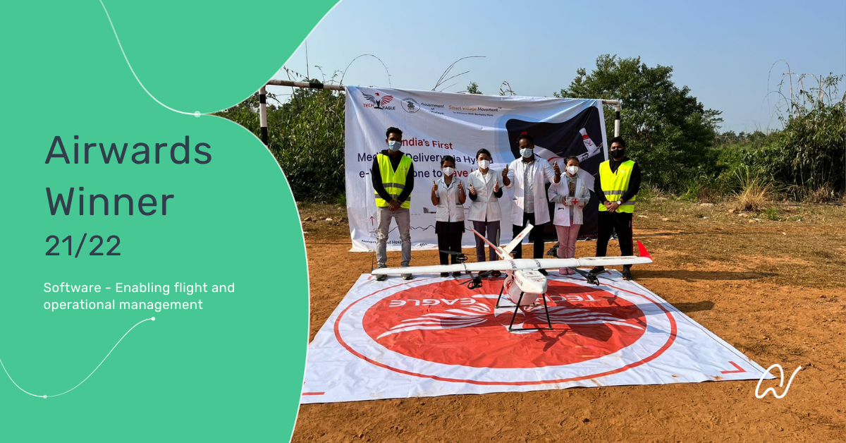
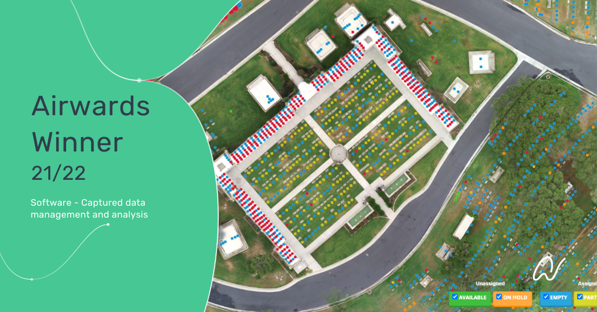
Queensland Uni. of Tech. (QUT)

About the project:
Winner of the ‘Airspace Management’ category goes to Queensland University of Technology for their Australian Drone Facility Maps software, which has helped improve drone flight approval systems. Their facility maps are automatically generated using multiple data sources, applied statistical analysis and aviation safety metrics. This means the maps are unbiased between locations, can be customised to risk expectations and easily updated. Their software and digital facility maps are currently used by authorities to help assess air risk posed by drone operations and to provide approvals in minutes, rather than weeks, while removing a significant barrier for some operators, improving operator business cases, and enabling new entrants to the space.
Follow them on social: LINKEDIN
What Airwards Judges said:
This is a great solution to solving many of the problems associated with traditional airspace approvals and improves on the FAA LAANC maps in a novel way. The fusion of software and data to rapidly generate safety risk maps is a well thought out approach to addressing a gap in the industry. Looking forward to seeing how this can be applied to use cases beyond Australia.